Devil’s Dyke (disused railway cutting)
About this reserve
Ownership and management
Cambridgeshire County Council, the Wildlife Trusts, Natural England and English Heritage appear to share responsibility, however the footpaths along the dyke show little sign of management. The path on the north side of the B1102 is quite uncomfortable, and will be very slippy in wet conditions.
Reserve web page
There is an unofficial web site at http://www.devils-dyke.com
Wildlife to photograph
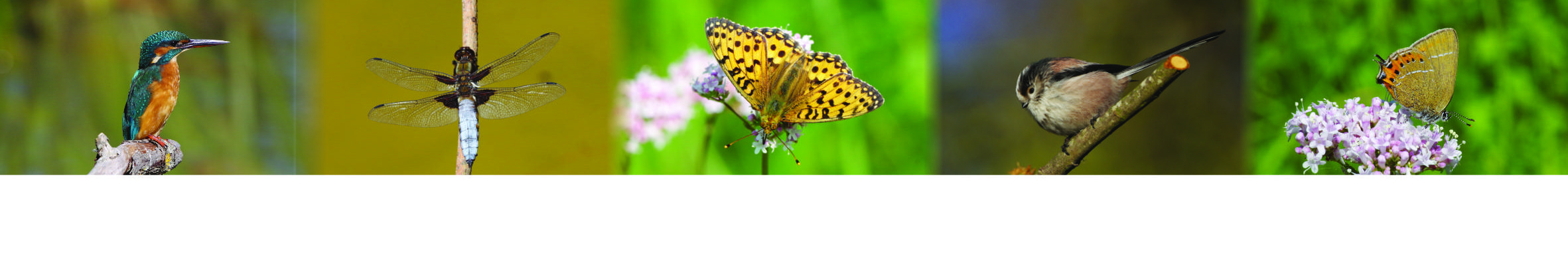
- Birds (yellowhammer)
- Butterflies (chalkhill blue, marbled white, common blue, brown argus, green hairstreak)
Facilities
- car park
Accessibility
The path onto the dyke can be difficult and the path along the dyke is uneven. Bushes have not been cut back recently. There are steep steps down into the railway cutting.
I do not think that this is suitable for wheelchair access.
Location
(Not to be confused with Devil's Dyke in Sussex owned by the National Trust).
Devil's Dyke is an ancient earthwork running from Reach in Cambridgeshire, through the edge of Newmarket, to Woodditton in Sufffolk. The disused railway cutting is near the Reach (northern end) of the Dyke.
There is a car park on the south side of the B1102 between Burwell and Swaffham Prior, clearly signposted, and at the bottom right on the map below (zoom in on the map to see the dyke labelled). The dyke runs from the cente top of the map to the bottom right hand corner.
Walk from the car park to the Dyke and cross the road. Walk along the top of the dyke: the railway cutting is about 600 metres to the north. Once in the cutting you can wander westwards (it ends at a road bridge), but only about 50 metres eastwards - the 'private' sign is no longer legible.